Introduction
Perhaps the single biggest factor that can make or break a ski trip is the snowfall. Almost everyone wants a big powder day, but for many, planning a trip around fresh snow can be too unpredictable and short-notice. But is it possible to plan for powder with longer-range forecasts?
Well, if you’ve been following skiing or weather-related news, you might have heard about two things: one, that Chile and Argentina in the Southern Hemisphere have been having a record-breaking 2026 winter in terms of snowfall, and two, that this is the result of a weather pattern called Super El Niño, which appears to be on track to greatly impact North America in the coming months. But does a snowy South American winter, especially if influenced by El Niño, tell us anything about what comes next up north? And how much confidence should you put in those seasonal forecasts when booking your next ski trip? In this piece, we’ll compare preseason predictions with what actually happened over the past four North American winters, along with two exceptionally strong El Niño seasons from further back, in order to understand how much weight these forecasts deserve in your planning. We’ll also look at the regional implications for these prediction structures, as well as whether preceding South American winters can truly offer any forward guidance on trip planning.
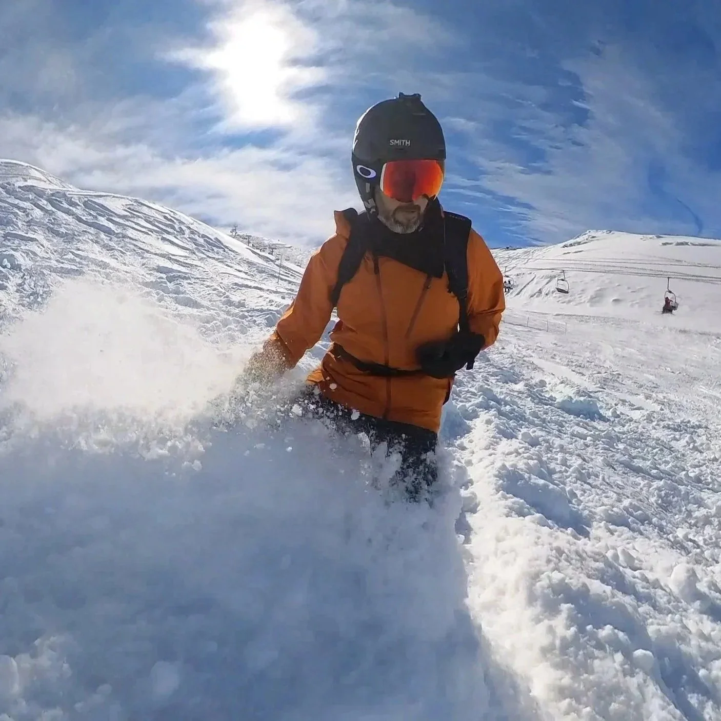
A big powder day can make a ski trip, but it’s hard to plan around one far in advance.
ENSO Breakdown
First, what exactly is El Niño? In short terms, El Niño is a climate pattern that involves unusually warm surface water in the central and eastern tropical Pacific, along with changes in winds and tropical rainfall. La Niña is its cooler counterpart. Together with a neutral phase, they’re part of a cycle called ENSO.
But while the tropics may not seem like they’d have much to do with colder climates at a surface-level glance, these changes often bring significant ripple effects on where winter storms travel. El Niño often favors wetter conditions across the southern United States, as well as central Chile and the adjacent Andes. La Niña tends to favor colder, wetter conditions in the Pacific Northwest and parts of the northern Rockies, while bringing colder but drier conditions to the central Andes of South America. Accordingly, these ENSO cycles have fundamentally shaped weather prediction forecasts at ski resorts in the Americas for years. So how have the predictions held up? Well, let’s start going over our most recent winters, and rewind back first to one of the most memorable seasons in recent memory, 2022-23.
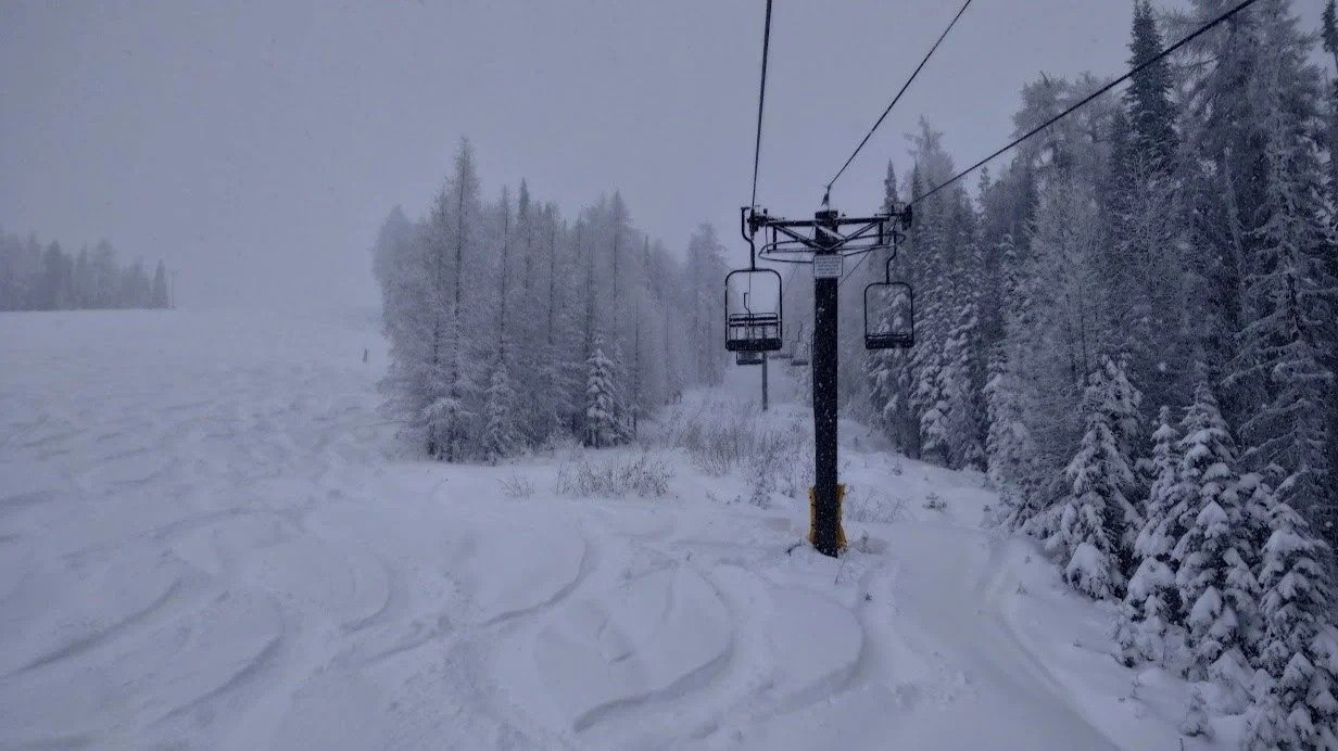
La Niña winters tend to favor the Pacific Northwest and parts of the northern Rockies.
2022-23: A Record-Breaking “Triple-Dip” La Niña
Forecast Expectations
Before going into detail on what happened during the 2022-23 season, it’s important to go through what was forecasted. Unlike the strong El Niño winter we’re currently expected to head for, 2022 was a moderate La Niña year. But this particular La Niña was also notable in that it was a rare “triple dip”, or the third instance of the La Niña pattern in a row after 2020 and 2021. And as with the two seasons that preceded it, NOAA’s outlook for winter 2022-23 was drier and warmer than average for the south and Southwest, and wetter-than-average in the north and Northwest. Overall, the consensus was that the Pacific Northwest and Northern Rockies would see the most consistent snowfall, while California’s Sierra and the desert Southwest would likely be below par. Utah and Colorado were forecast to be around average.
Before getting into what happened in North America that season, we should first look at whether South American skiing lined up with La Niña patterns. It certainly was colder than normal there, but unlike typical La Niña years, where snow is often below average, ski resorts in central Chile and Argentina tended to have fairly average accumulation totals. So one could argue that the ENSO cycle was a bit off there, albeit not abnormally so.
Actual Outcome
But what actually unfolded in North America half a year later went even further, blowing the forecasts completely out of the water. Despite being a La Niña year, the 2022-23 winter became one of the snowiest on record for the western United States.
California and Utah were where this most came to a head. A relentless series of atmospheric river storms pummeled California from late December through March, funneling moisture not just into the Pacific Northwest (as one would expect in La Niña) but unusually far south. The Sierra Nevada had astonishing snowfall totals. Mammoth Mountain ended the season with 714 inches of snow—its highest total on record. At Lake Tahoe resorts, season totals in the 600-700" range were common. And Utah was even more insane. Alta hit 903", beating its previous record by nearly 20%, as 13 out of Utah’s 15 major resorts broke snowfall records. Many Southwest Colorado, Northern Arizona, and Southern California ski areas also saw exceptional snow by late winter, decidedly defying the drier conditions typically associated with La Niña in those regions.
On the flip side, some of the “traditionally” favored La Niña regions did okay but not spectacular. The Pacific Northwest and Western Canada had decent winters, with average-to-slightly-above-average snow totals, but compared to the bonanza farther south, the accumulation was surprisingly ordinary. Parts of the Northern Rockies were actually below average.
Ultimately, this outcome caught forecasters off guard, with the storms shifting much further south than anyone had expected, and those storms’ totals being vastly underestimated. In the end, 2022-23 was a prime example of the atmosphere throwing a complete curveball, and as far as skiers and riders were concerned, one that was mostly in a positive direction from a snowfall standpoint (there are many other things to be said about the ease of access to the mountains during the intense snowfall, but that’s best left for another piece).
But was 2022-23 a significant outlier, or would the following season also surface cracks in ENSO’s predictive armor?
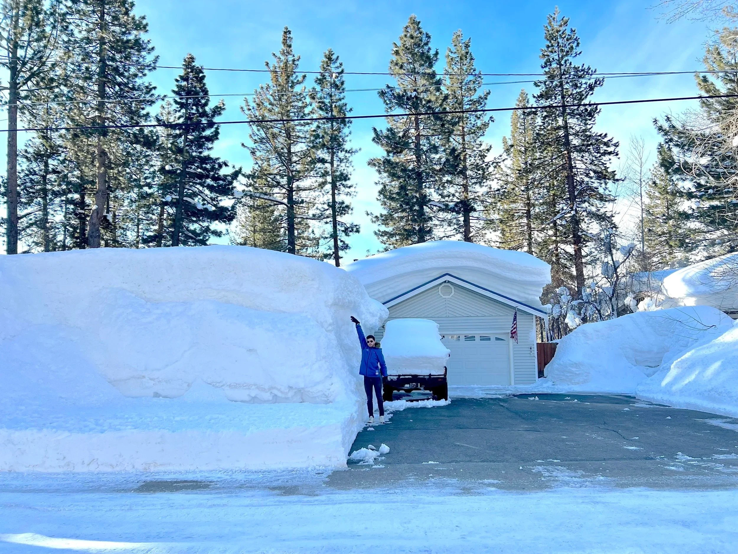
Season totals of 600 to 700 inches were common around Lake Tahoe in 2022-23.
2023-24: El Niño’s Return
Forecast Expectations
Into 2023, everything flipped, as the ENSO pendulum swung to El Niño conditions for the first time in years. And as such, the seasonal forecasts changed significantly as well.
This had the opposite implications for South America as the prior few seasons, with warm and wet weather expected instead of cold and dry. An unseasonal heatwave in early August brought the Andean ski season to a slow start, although the increased moisture from El Niño did eventually bring a late resurgence of snowstorms that essentially saved the season there. This was frustratingly variable, but not outside the realm of normal expectations in an El Niño year for South America.
As for North America, forecasters widely expected a typical El Niño winter pattern, meaning a wetter-than-normal year in the Southwest and a drier one in the Pacific Northwest, with the southern Rocky Mountains and Sierra Nevada most likely to benefit. The El Niño of 2023-24 was not predicted to be as extreme as some previous events (which we will touch on later in this piece).
Actual Outcome
But at the start of the season, it initially seemed that the ENSO cycle would fail to predict snowfall totals yet again. Things got off to a worrying start. The early season was extremely dry across much of the West, seemingly defying even the El Niño playbook. By December’s end, Western North America’s snowfall averaged only ~57% of normal, making it the second-worst start in over 50 years.
Then, almost on cue with the calendar year, things changed. Indeed, January through March 2024 brought a barrage of storms that greatly favored the Sierra Nevada, the Southwest, Utah, and southern Colorado, finally reflecting the classic El Niño pattern. The Sierra received 4 feet of snow in the first half of January, then an even bigger series of storms in late February and early March. In the first week of March, a massive atmospheric river dumped 5-10 feet of snow in the Tahoe basin—a huge event that instantly vaulted seasonal totals close to normal. Southern California, Arizona, southwest Colorado, and New Mexico also benefited. The Cottonwood Canyons saw frequent dumps and by spring 2024, Utah’s season ended well above average overall.
However, consistent with El Niño expectations, the Northern Rockies and Pacific Northwest unfortunately did not enjoy the same comeback. They got some snow from the mid-winter storms, but generally less than the southern regions. Northern and central Colorado resorts, which aren’t as impacted by ENSO, improved late in the winter but generally landed near or just below their seasonal averages.
Ultimately, the 2023-24 season in North America ended up largely aligned with many of the preseason predictions after the start of the new year. The general pattern of the south getting more snow than the north was correctly anticipated, and those booking a trip in February or March arrived to snowfall patterns that largely aligned with the long-range outlooks. But for the early-season, the long-range forecast offered little guidance on that unprecedentedly difficult start.
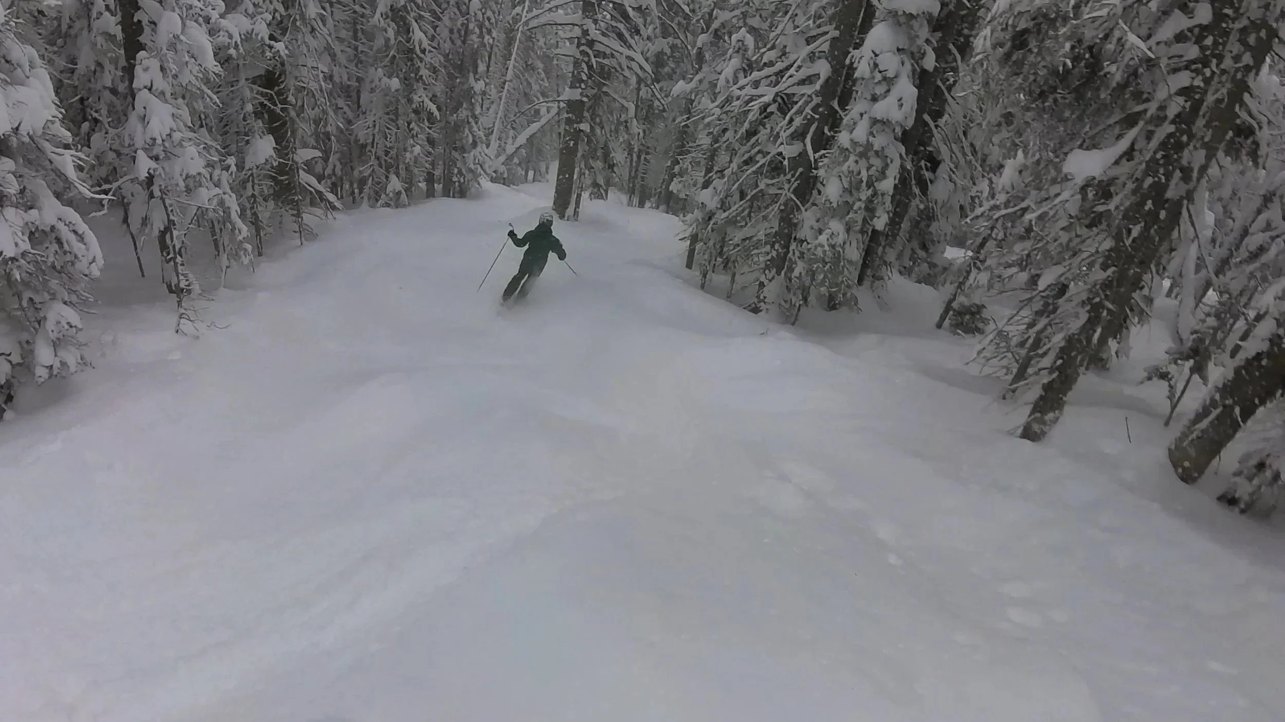
Conditions improved across much of the West once the calendar turned to 2024.
2024-25: Weak La Niña Comeback
Forecast Expectations
So after some issues with North American predictions in the prior years, could the following winter finally offer clear-cut seasonal guidance for people booking pre-season ski trips?
In mid-2024, El Niño faded and the Pacific returned to neutral conditions. That weakened season-long guidance for South America, although the Andes ended up having one of the best seasons on record anyway.
But 2024 also marked an uncommon instance of the South American and North American winters being somewhat separated by shifting climate patterns. Toward the end of the calendar year, La Niña re-emerged, with forecasters favoring cold, moist weather across areas in the north and predicting that southern regions would likely be drier than normal. Because La Niña was projected to be weak, some forecasters cautioned that deviations could occur.
Actual Outcome
But despite those cautions, the overall results of the 2024-25 season showed the most clear-cut “La Niña pattern” of any season in recent years. While the winter was overall a bit below average due to a widespread dry January, the regional distribution matched the classic north vs. south split. The Pacific Northwest finally had a very good winter, with significantly above-average snowfall in many areas. The inland Northwest and northern Rockies were also beneficiaries, and even far northern California, at the tip of the Cascades, was wetter and snowier than usual.
Meanwhile, the Southwest was extremely dry. Unfortunately for those in Arizona and New Mexico, the meager snowfall felt reminiscent of the worst La Niña years. And the Central Rockies of Utah and Colorado landed in the middle as anticipated. After two huge winters, Utah’s Wasatch Range experienced a more “average” snow year in 2024-25, as did northern and central mountains in Colorado. But as befitting La Niña’s pattern, the southern resorts in both Utah and Colorado underperformed.
So overall, 2024-25 was a success for the forecasters. Unlike in 2022-23, this weak La Niña had behaved almost entirely by the book. For skiers and riders, this meant that paying attention to the ENSO-based forecast had paid off, at least this time around. But because of when the ENSO pattern shifted, this was also an example of South America’s winter not necessarily being helpful for predicting North America’s.
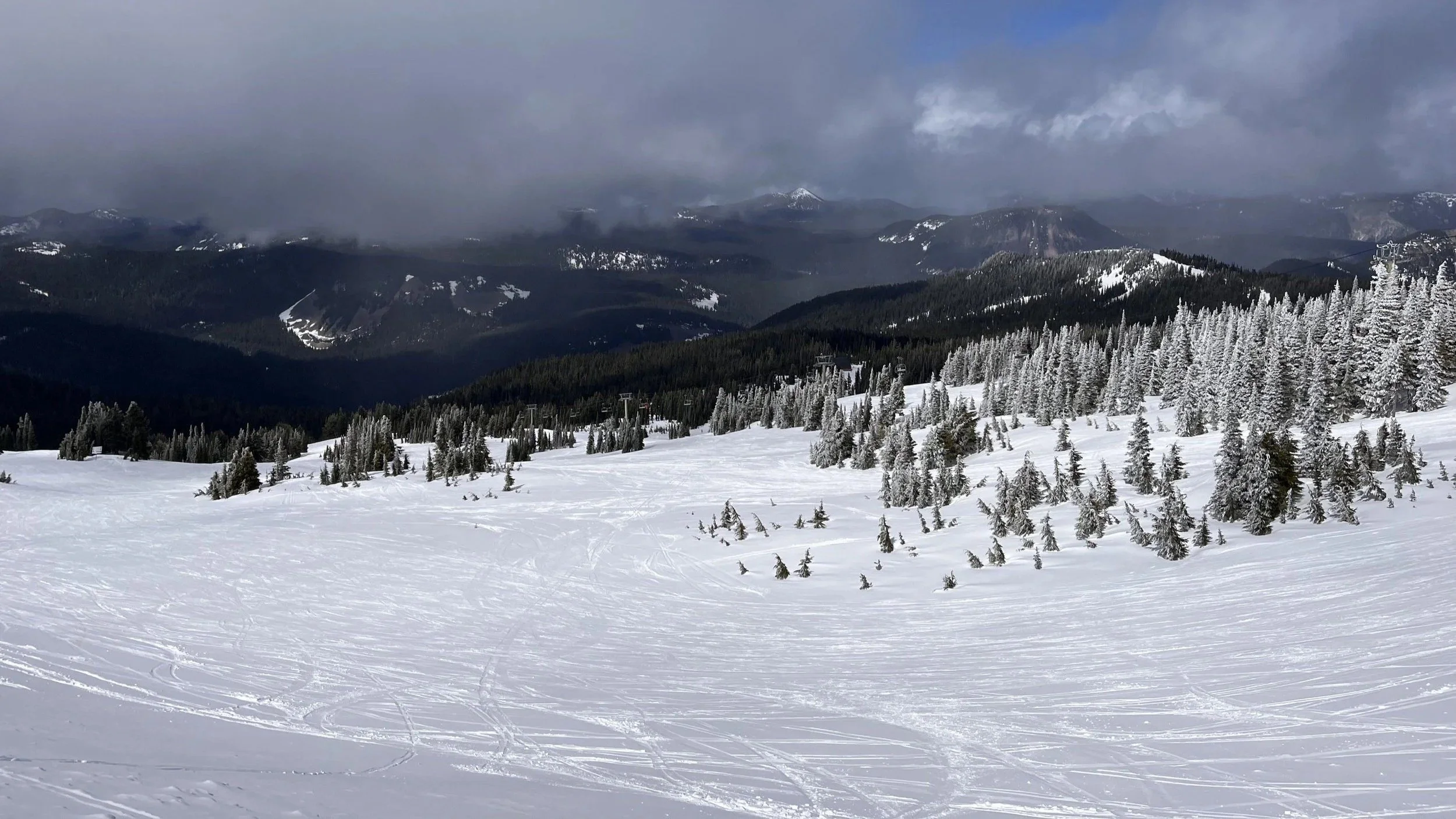
The Pacific Northwest finally had a very good winter in 2024-25.
2025-26: Repeat La Niña Pattern… But Anything But Repeat Conditions
Forecast Expectations
And this brings us, finally, to last season. And in terms of ENSO, the pattern actually turned out fairly similar to 2024-25. The 2025 winter in South America began during yet another ENSO-neutral period, which then started transitioning back into a weak La Niña by September. This doesn’t sound that different from the previous year’s timeline. However, if you skied or rode literally anywhere in North or South America during 2025 or early 2026, you know that what actually happened on the ground was far different from the year before, and far different from most years in recent history. And that was because of a fundamental shift in one variable.
Starting with the Andes, the 2025 season began grimly. A late storm cycle did rescue certain resorts, but for many smaller or mid-sized ski areas, the damage had already been done, with La Hoya, Argentina—which is often known for its reliable snow conditions—closing on a jaw-droppingly early August 10th due to a lack of snow.
And as it turned out, despite the ENSO pattern shift in the North American fall, the South American ski season would be grave foreshadowing for the 2025-26 winter in western North America. Last fall, forecasters went ahead with a now-familiar La Niña prediction—a colder, wetter winter in the northwest, and a drier one in the southwest. And while the north did end up being generally wetter than the south…very few casual observers accounted for just how much the temperatures would break the model.
Actual Outcome
An unseasonably warm winter assaulted essentially the entire American west for huge stretches of the 2025-26 season. Colorado and Utah had virtually no precipitation until late November, and when it did come, it arrived in the form of rain rather than snow. Meanwhile in the Pacific Northwest, atmospheric rivers were bringing rain intense enough to wash out ski resort access roads, and in the worst example, Washington state's Stevens Pass ski area was made inaccessible for weeks. Tahoe received some huge storms during the core season, but they were quickly followed up by rain at higher elevations that eroded huge portions of the snowpack. Up in Canada, La Niña fell more in line with predictions; colder temperatures allowed the wet winter to mostly manifest as snow, and the major resorts in British Columbia and Alberta actually enjoyed an excellent and lengthy season. But for the core United States regions, spring saw many resorts stumbling over the finish line, with an extreme heat wave wreaking havoc over already struggling footprints throughout the last few weeks of March. By April 1, many areas of Colorado and Utah had their lowest snowpack on record—if they hadn’t closed already.
And this brings us to today. After a couple of consecutive weak La Niñas, an incredibly strong El Niño is on the rise, unlike anything we’ve seen in the past four winters. Obviously, relying entirely on ENSO for forward guidance has some issues. But does a much more intense El Niño make that guidance more dependable? To understand this, it’s important to look back at previous seasons with similarly strong El Niño patterns. Because of how rare these events are, our first comparison takes us all the way back into the 1990s.
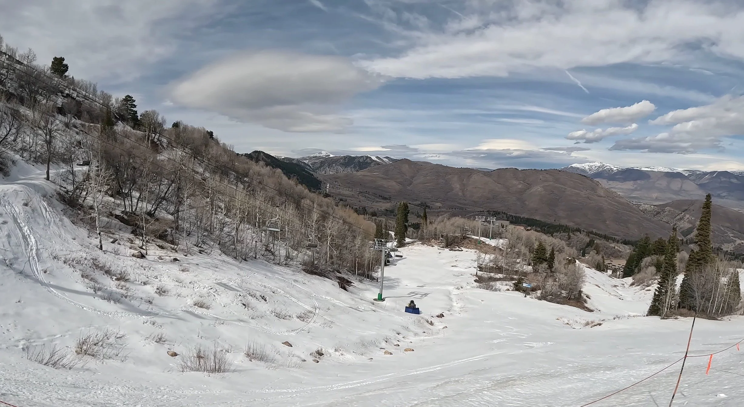
Utah saw one of its worst precipitation years ever during the 2025-26 season, as in many other parts of the American West.
1997-98: Super El Niño
The year 1997 saw one of the most powerful instances of El Niño in recorded history. That spring, an unusually huge pocket of water began warming up in the central Pacific, setting the stage for major weather shifts far beyond that of a normal El Niño.
This had huge effects on South American ski resorts. Heavy storms brought enormous amounts of snow to the high Andes, including one cycle that brought over 13 feet of snow to Chile’s Portillo ski resort in just 5 days. In terms of the consistent and relentless accumulation, this 1997 South American winter was a close analogue to the 2026 winter that has been in all the headlines in the past couple of months.
So that begs the question for all the North American skiers and riders: if this Super El Niño brought similar effects to South America in 2026 that it did in 1997, then what exactly happened to North America during the winter of 1997-98?
Well, El Niño did hit North America hard. In the contiguous United States, the 1997-98 winter was the second warmest and seventh wettest on record since 1895, resulting in disasters like severe flooding and tornado outbreaks across various parts of the country. But as for the western ski resorts, the results were a little more complicated than the simple pattern of a wetter south and drier north.
The resorts in the central to southern parts of the west did benefit from El Niño for large parts of the season. Parts of the Sierra and Southern California received over three times their average snowfall during the month of February 1998, and resorts in Arizona and Utah had very strong stretches during the season as well. However, a lot of these storms struggled to move further inland to Colorado and New Mexico. Many of Colorado’s major resorts, including Keystone, A-Basin, and Crested Butte, finished below their season averages, while New Mexico’s resorts did not come out as far on top as they truly might have expected from such a strong El Niño.
Meanwhile up north, there were large periods of dry weather, including an extreme drought that began the very early season in the Pacific Northwest and Northern Rockies. Some resorts never managed to fully bounce back from that drought. But notably during late December and January, it appeared as if El Niño was playing absolutely no part, with substantial snow arriving in several northern regions at that time. Jackson Hole received a remarkable 14 feet during that stretch, even though it ultimately finished below average for the season. Washington’s Crystal Mountain and Stevens Pass didn’t get quite that much snow, but the storms from this one chunk of the season allowed both to end above average, despite the climate pattern heavily betting against them.
So ultimately, while this Super El Niño did display some of the typical trends of a wetter southwest and a drier northwest, there were notable instances of the actual weather not really following the playbook. Only the Sierra in California really definitively came out as a clear winner during the 1997-98 season. Other regions were a mixed bag, where some resorts got the powder or lack thereof they were expecting, while others got surprising over or under-performances.
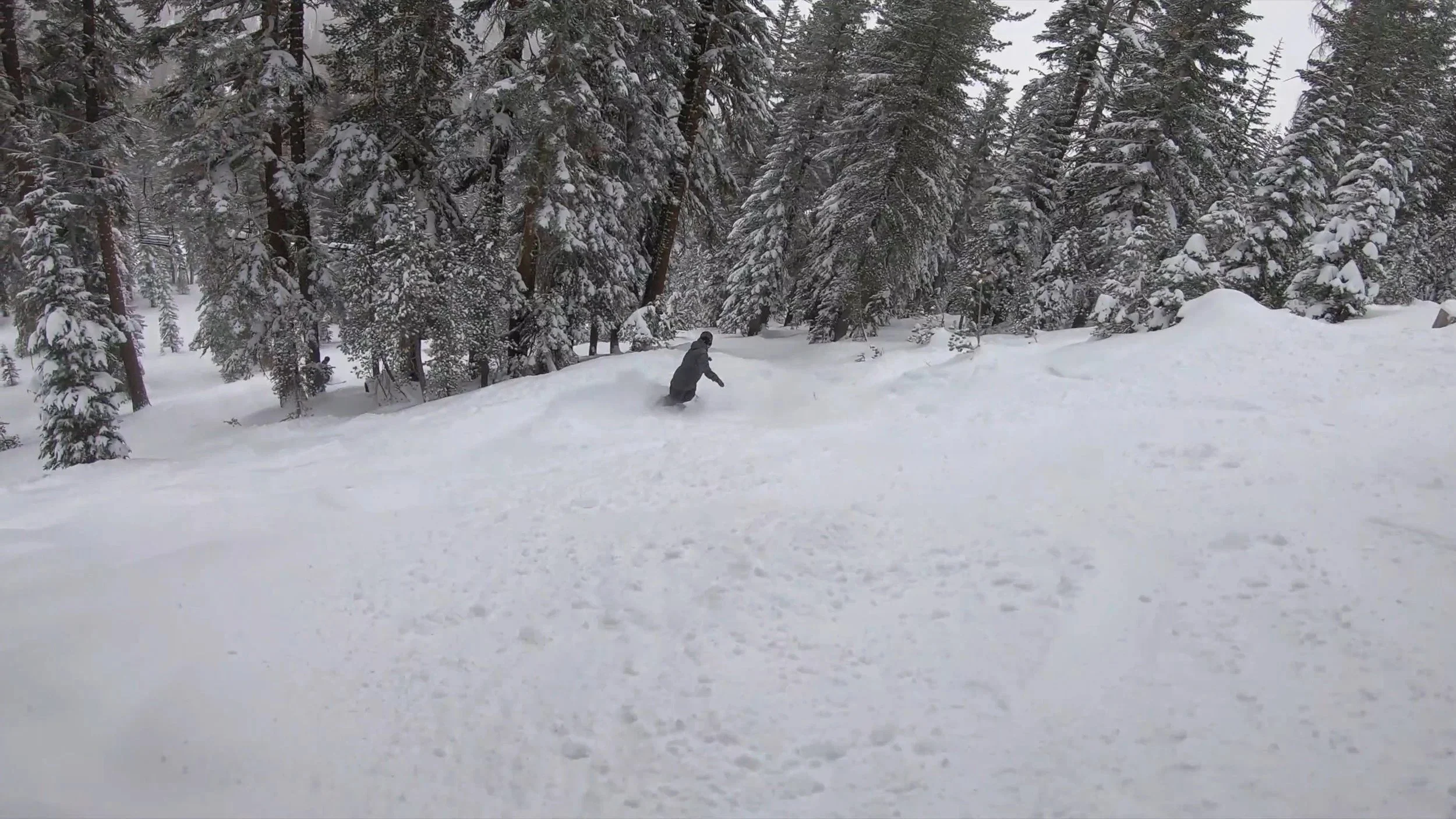
California’s Sierra was the only region that came out as a clear winner in 1997-98.
2015-16: Super El Niño Returns… With Notable Changes From Last Time
But the late 90s isn’t the last example we have of a super El Niño, with another exceptionally strong event—and the most recent until mid-2026—occurring in 2015.
Like in 1997, the first signs of El Niño’s effects on skiing manifested in South America, as the Andes had another incredibly notable winter in 2015. However, drought significantly delayed the start at many resorts before monster storm cycles brought notable recoveries. In many ways, this delay put South America’s 2015 season more on par with the 2026 season, which also got off to a slow early-July start, than any other in recent history.
But would North America see a repeat of the 1997-98 season? Well, NOAA’s official winter outlook published in October 2015 did greatly attribute El Niño with what was expected to come, predicting the now-familiar wetter-than-normal conditions for the southern half of the US from California to Florida, and drier-than-normal conditions for the Pacific Northwest and Northern Rockies.
But would the strong El Niño strongly predict these trends? Absolutely not. In fact, the 2015-16 winter displayed almost none of the expected patterns based on past El Niño seasons. Many resorts in southern California, southern Colorado, Arizona, and New Mexico, which expected to feast, came up infuriatingly drier than even their normal season averages. This unexpected outcome was a result of the climate pattern simply not delivering the more southerly storm tracks of prior El Niño seasons.
As for the north, the warmer and drier conditions did eventually manifest in the second half of the season, starting around February and persisting through April. But as for the early season, many major western resorts in the northern sector actually experienced a ton of snow. Late November and early December brought accumulation events of multiple feet to the Pacific Northwest, and the entire West was the beneficiary of another huge storm just before Christmas. This fantastic early season meant that many more northern resorts which were expected to underperform, such as Big Sky, Sun Valley, and Steamboat, actually ended up finishing above 100% of their average snowfall. Warmth and heat did eventually dry things up a bit ahead of schedule in the late season, but overall, the 2015-16 El Niño simply did not have the impact on North American skiing that had been anticipated. The only real instance of it guiding a storm track happened in early January, with California’s Sierra being the biggest beneficiary. Otherwise, most of the winter’s events were guided by other, more localized factors.
So despite reaching a strength comparable to 1997-98, the 2015-16 El Niño produced a very different distribution of snowfall, especially in North America.
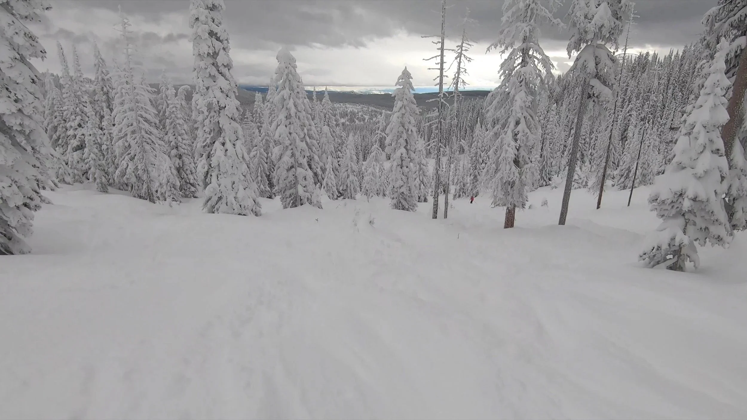
Steamboat was one of several northern resorts that finished above average in 2015-16 despite El Niño.
2026 South American Winter and Conclusion
So what can we ultimately discern from these six different seasons? Well, in terms of North America, the accuracy of the preseason snowfall forecasts over the most recent four winters varied significantly. At least in the 2024-25 season, the atmospheric pattern closely followed the “script” of ENSO, with La Niña-based forecasts that were fairly accurate. But the other two La Niña years brought totally unforeseen circumstances, with 2022-23 bringing historic snow even in central and southern parts of the continent, and 2025-26 bringing weather so persistently warm and volatile that it made most predictions incredibly unhelpful. As for 2023-24, that was the most recent El Niño winter, and it sort of landed in between—the forecast pattern did eventually emerge, but timing and intensity issues meant it was only brought in line by late season.
And this brings us to South America in 2026. After a difficult early-season start in parts of the Andes, repeated storm cycles brought extraordinary barrages of accumulation to several major resorts. The contrast between the early season and what followed is an important reminder that even a winter remembered for enormous snowfall can offer very different experiences depending on when you visit.
So does this all mean this winter in North America will be a lot like the one in 1997-98, which did exhibit El Niño traits with some complicated exceptions? Or will it be more like the 2015-16 one, where the season had almost no El Niño traits? Well, in short, there’s no way of knowing for sure. The truth is that our weather depends significantly on so many other factors outside the ENSO cycle. But it just so happens that ENSO is also one of the easiest for us to track and predict for the long term, which is why it’s so popular for general forecasts this far out.
Going into the winter, you’re likely to see many long-term forecasts showing increased likelihoods for more snow in places like the Sierra, New Mexico, and southern Colorado, while telling skiers and riders in the Pacific Northwest and Northern Rockies to prepare for disappointment. But if there’s anything that the last few years have shown us, it’s that truthfully, those forecasts are far from sure guarantees. While a few recent winters did eventually display the textbook pattern of their ENSO outlook, the North American forecasts in the falls of 2015, 2022, and 2025 were spectacular failures in this regard. And even in the winters where this guidance did accurately materialize, no outlook could forecast the weather on the exact set of dates one might book.
And South America’s winter doesn’t settle those questions either. Looking at the seasons without a fall ENSO pattern shift, South and North America both generally adhered to the guidance in 1997 and 2023. But in 2015 and 2022, South America’s ski season stuck mostly to the ENSO forecast, while North America’s unfolded very differently. To a certain extent, it makes sense that South America’s ski season is more impacted by these ocean temperature patterns than North America’s, given how much closer it is to the waters in question.
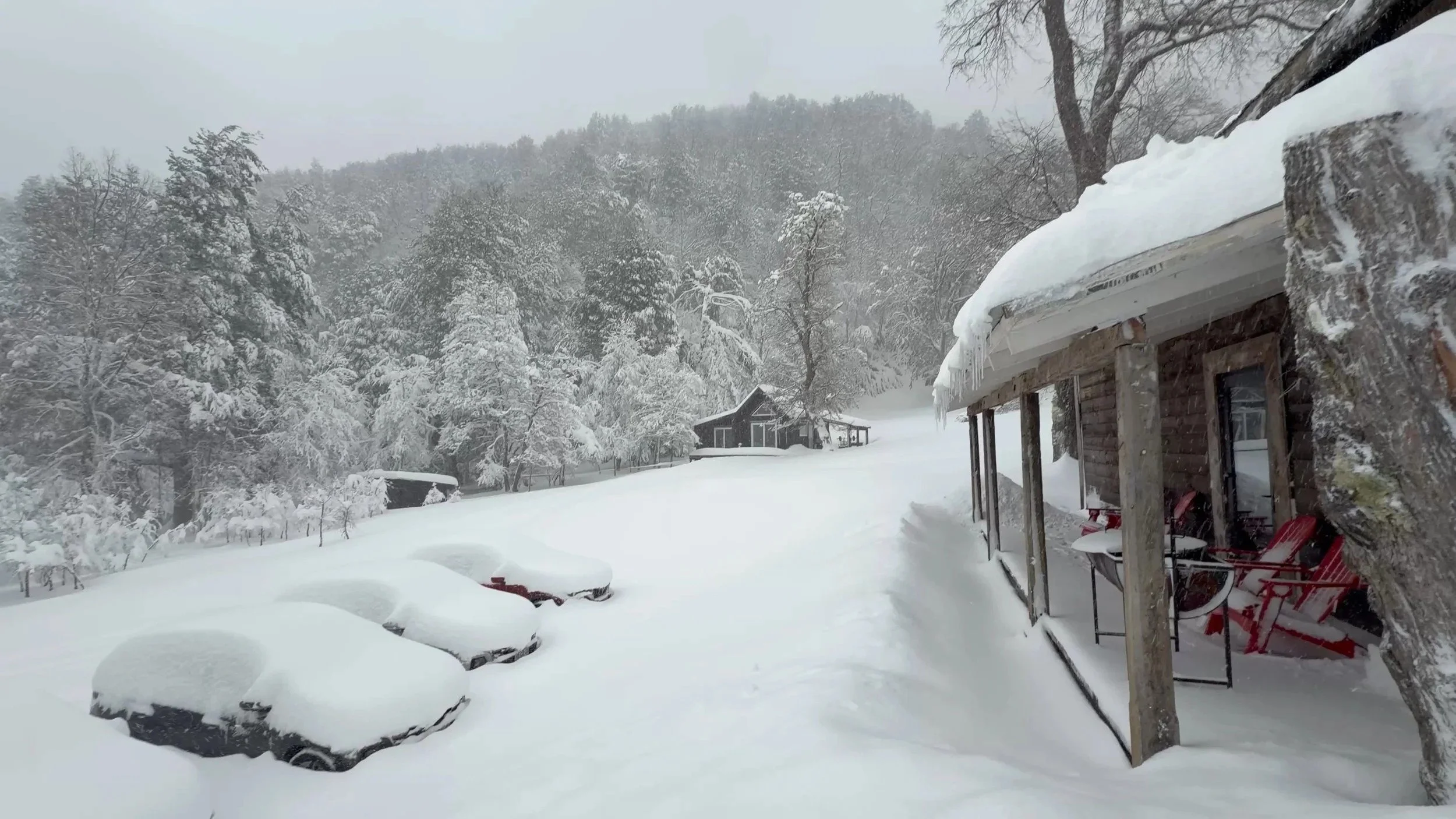
Resorts like Corralco were buried in snow during Chile’s record-breaking 2026 winter.
Before closing out, it’s also worth briefly touching on the American East Coast, and why we didn’t cover it in detail in this piece. The Northeast U.S. and eastern Canada are often tossup regions as far as ENSO is concerned, with temperature factors outside of the cycle impacting whether any accumulation effects arrive as rain or additional snow. This season, the guidance is for more precipitation, but also warmer-than-normal conditions in the Northeast. Other weather patterns are likely to determine where storms travel and whether they bring fresh snow or rain.
So should you use this Super El Niño as a guiding principle for planning your next ski trip? Well, yes and no. ENSO gives forecasters some moderate predictors to use months ahead, but it’s not foolproof, and it can’t tell you whether your particular trip will deliver the goods.
The better way to go about it is to start with how reliably a resort offers the skiing and riding you want at the time of year you’re visiting, which you can do by reading our mountain reviews here on PeakRankings. Then consider what the seasonal outlook adds. An unfavorable outlook doesn’t erase a mountain’s usual advantages, and a favorable one doesn’t guarantee deep coverage or fresh powder.
South America’s huge storms give North American winter sports goers plenty to be excited about. But as the seasons we covered in this piece have shown, excitement and predictability are different things. Use the forecast to understand the odds as you book, and leave room for the winter to surprise you.